

Weather is a complex and fascinating subject, with numerous phenomena occurring all around the globe. One such event, a microburst, can be as captivating as dangerous. What is a microburst? We’ll examine their formation, classification, potential hazards, and the importance of understanding and preparing for them.
What is a Microburst?
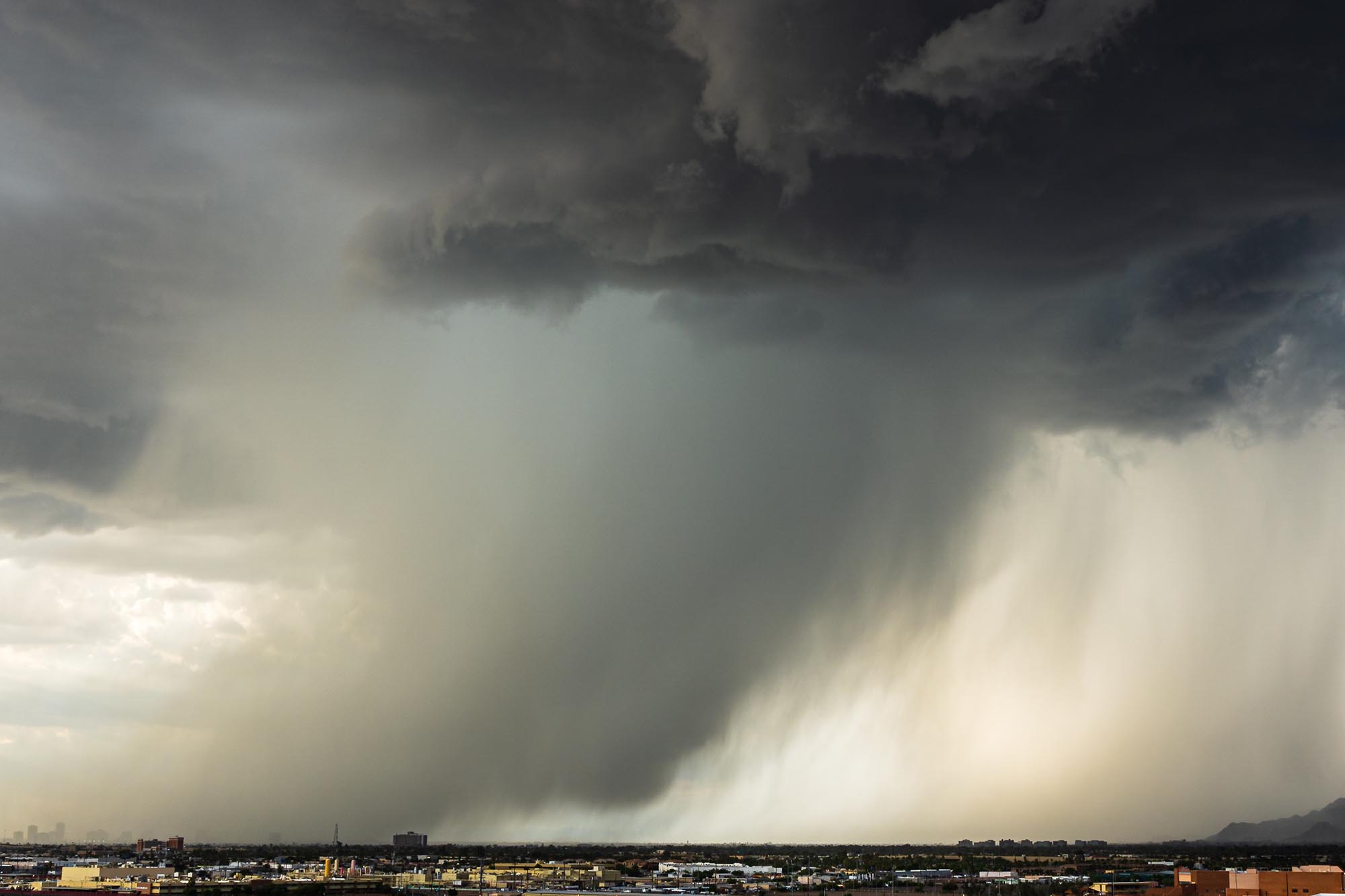
A microburst is a small-scale, localized, intense downdraft during a thunderstorm. Spanning an area of fewer than 2.5 miles (4 kilometers) in diameter and lasting for only a few minutes, microbursts produce strong, damaging winds that can reach speeds of over 100 miles per hour (160 kilometers per hour). These powerful gusts pose hazards to aviation, structures, and people on the ground.
Microbursts can be categorized into two types: wet and dry. Wet microbursts are associated with heavy precipitation, while dry microbursts occur with little or no precipitation. Both types are formed when rapidly descending air within a thunderstorm encounters the ground and spreads out horizontally, creating intense wind gusts. Factors contributing to microburst formation include cooling from evaporation, precipitation drag, and strong vertical wind shear.
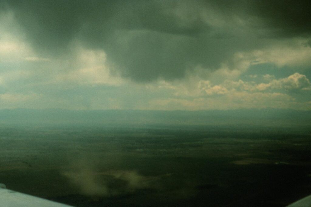
To better comprehend microbursts, it’s essential to understand the factors that lead to their development. A key component in the formation of microbursts is the presence of a strong updraft in a thunderstorm. Updrafts lift warm, moist air upwards, while downdrafts bring cooler, drier air back to the surface. When the downdraft encounters the ground, it spreads out in all directions, creating powerful wind gusts.
One common factor contributing to microburst formation is evaporative cooling. Some raindrops evaporate when rain falls through a layer of dry air, causing the air to cool rapidly. This cooler, denser air accelerates downward, leading to the formation of a microburst.
Another factor is precipitation drag. As rain or hail falls through the atmosphere, it can drag the surrounding air along with it. This creates a downdraft that can intensify as it reaches the ground, resulting in a microburst.
Lastly, strong vertical wind shear – the change in wind speed or direction with height – can play a crucial role in microburst development. When wind shear is present, it can enhance the downdrafts within a thunderstorm, making microbursts more likely to occur.

Where do microbursts occur?
Microbursts can occur anywhere in the world where thunderstorms develop. In the United States, they are more commonly observed during the warmer months, from late spring to early fall, when conditions are most favorable for thunderstorm formation. However, microbursts can also occur during cooler months, particularly when there is sufficient atmospheric instability.
Geographically, microbursts are more prevalent in certain regions of the United States. Wet microbursts are commonly observed in the Southeast, Midwest, and the Great Plains, where high moisture levels and warm temperatures often combine to create ideal conditions for thunderstorm development. On the other hand, dry microbursts are more common in the arid regions of the Southwest, where thunderstorms can develop over dry terrain and lead to strong downdrafts.
Why are microbursts dangerous?
Despite their brief duration, microbursts can cause significant damage like a tornado. They pose a serious weather threat, particularly for pilots and air traffic controllers who must monitor and prepare for these unpredictable events. Microbursts can lead to sudden changes in wind direction and speed, known as wind shear, which can be extremely hazardous for aircraft during takeoff and landing. On the ground, microbursts can topple trees, damage buildings, and cause power outages.
Understanding and preparing for microbursts is crucial to minimizing their potential impacts. Meteorologists and researchers continuously work to improve forecasting techniques to better predict these events. Advanced radar technology, such as Doppler radar, can help detect microbursts by identifying areas of strong wind shear.
Airlines and aviation authorities have developed guidelines and protocols to help pilots respond to wind shear and microburst encounters, which can significantly improve flight safety. On the ground, it is essential to stay informed about severe weather events, including thunderstorms with the potential for microbursts. Pay attention to weather forecasts and heed any warnings or advisories issued by local authorities.
If a microburst is imminent, seek shelter in a sturdy building and avoid windows. Avoid being outdoors, as falling trees, flying debris, and strong winds pose significant risks.