In the average winter, most of us will have to deal with frozen precipitation, not just snow. One of these types is sleet, and we’ll explain how it forms and the difference between it and a hailstone.
What is Sleet?
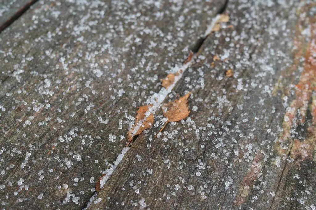
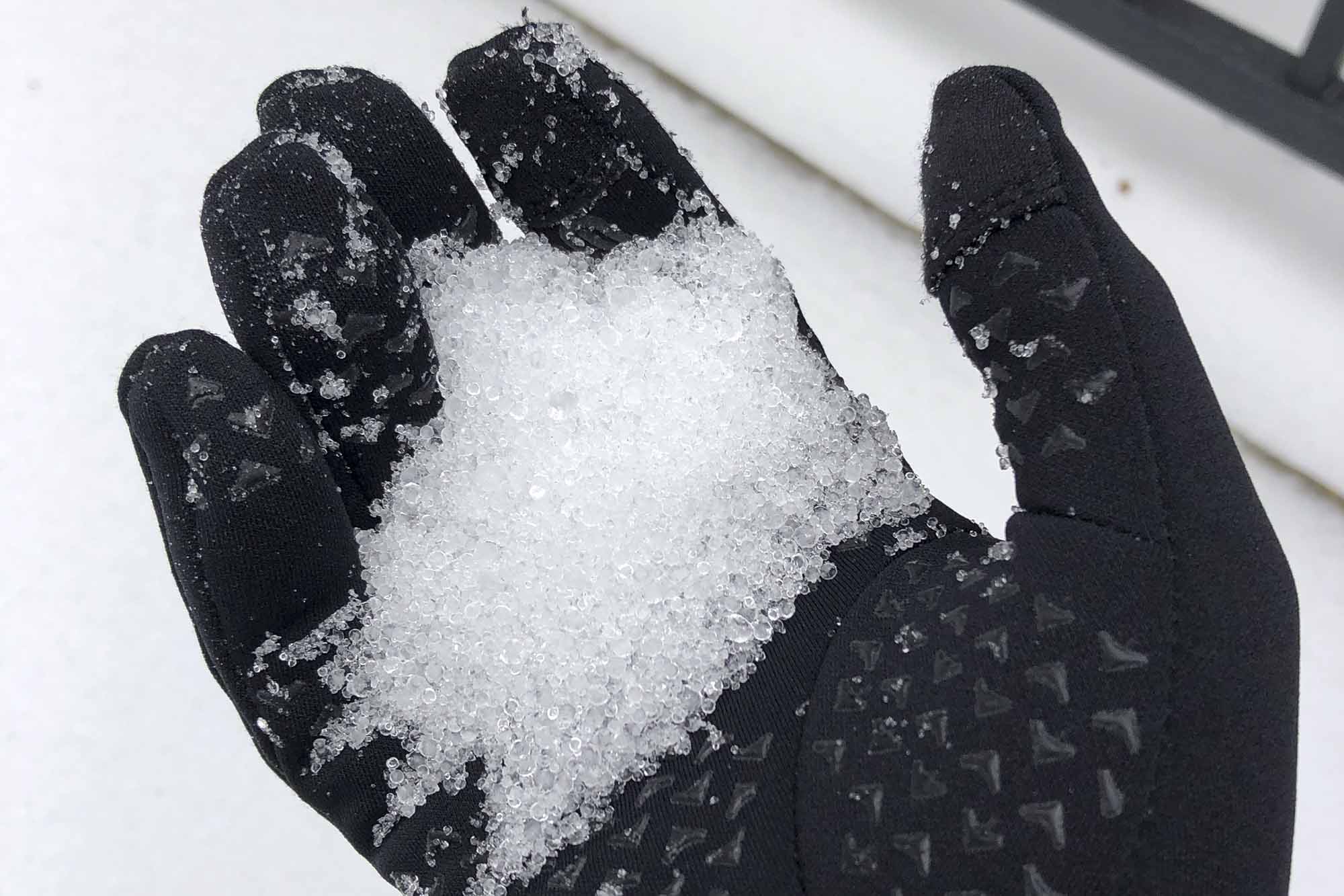
Sleet is a type of winter precipitation, essentially ice pellets or frozen rain from melted snowflakes. When snow falls through a layer of warm air in the atmosphere and a second deep layer of freezing air near the surface, the snow will partially melt and re-freeze.
Sleet is a winter weather hazard that can cause serious travel problems. It is more common in some areas than others, but people worldwide have experienced it.
Where and How Sleet Happens

Sleet occurs as far south as Southern Texas and Northern Mexico. In the United States, the heaviest amounts typically fall in the southeastern states, as it is often too warm to snow, even in the winter.
Both are formed when raindrops or snowflakes are carried through subfreezing air, where they instantly freeze into ice. The difference is that sleet falls directly to the ground and is smooth. On the other hand, hail is pushed around by the wind in thunderstorms, growing into a jagged, larger ball of ice before falling to earth.
Another noticeable difference is the time of year they occur: hail is most common in summer, while sleet is more common in winter.
How Common is Sleet?
During most winters, significant accumulations are seen only in northern states and during winter storms along the coast. However, on rare occasions, heavy accumulations have been seen in the southern states, particularly in Gulf Coast states from central Texas to Alabama.
For instance, in January 1994, significant accumulations were associated with a significant winter storm across the southern states. The storm was part of a larger cold wave across the US that saw many northern states fall well below zero, setting records.
Sleet vs. Freezing Rain

Freezing rain differs from sleet because the snowflake melts entirely and doesn’t freeze until coming in contact with cold objects. This occurs because the warm layer is extremely deep, and the cold layer is very thin, perhaps just a few feet off the ground.
Sleet occurs when the snowflake only melts partially and refreezes due to a much deeper cold layer at the surface. Here the warm layer is sandwiched between the cold layer at the base of the cloud and a deep cold layer near the surface.
Of the two, sleet is far less dangerous as you still can get some traction. On the other hand, freezing rain forms ice, which you can not get any traction on.
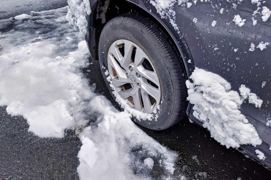
Sleet can melt due to friction from people walking or driving over it. Eventually, this will freeze again due to the cold temperatures, so you shouldn’t drive in this type of winter weather.
Learn more about the differences in this blog post.
Staying Safe in a Winter Storm
When a winter storm is forecast for your area, the most important thing to remember is if you don’t have to go out, don’t go out.
If you must drive somewhere during a winter storm, check the weather reports before leaving and take extra clothing with you if your car breaks down. It’s also helpful to keep your cell phone charged and take along an ice scraper, a shovel, some salt or kitty litter for traction, and any other items you might need if you get stranded.
As always, we recommend you purchase a weather radio to stay on top of the latest winter weather alerts. Sleet often happens in the transition between snow to rain (or vice versa), so be alert for changing weather conditions.


